Polar vortex brings more arctic air to Waterloo Region, extreme cold warning in effect
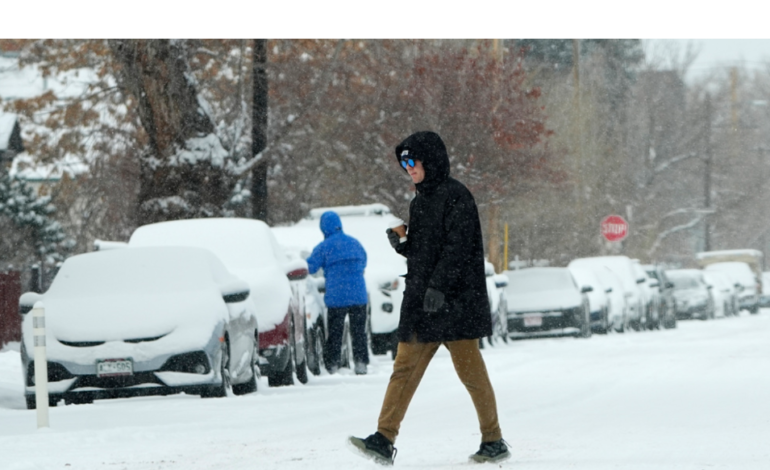
Commuters in Waterloo Region are bracing for another day of bone-chilling arctic air, with Tuesday shaping up to be one of the coldest days of the week. Environment Canada has issued an extreme cold warning, forecasting wind chills that could plunge to -30°C, potentially lasting into Wednesday.
The weather service warns that the extreme cold presents a serious risk to health and safety. Exposed skin can develop frostbite in as little as 10 minutes, and residents are advised to watch for signs of cold-related illnesses such as shortness of breath, chest pain, muscle pain, and numbness in fingers and toes.
Though some snow is possible during this cold spell, the cloud cover may provide a silver lining. According to 570’s Meteorologist Jill Taylor, clouds can generate heat through condensation, helping to slightly moderate the frigid temperatures.
“The cloud cover could help produce heat due to the condensation process, making it feel not as cold as -30°C or colder at times,” Taylor explained.
Thankfully, temperatures are expected to warm up by the weekend, with a high of -6°C on Thursday and -4°C for both Saturday and Sunday.